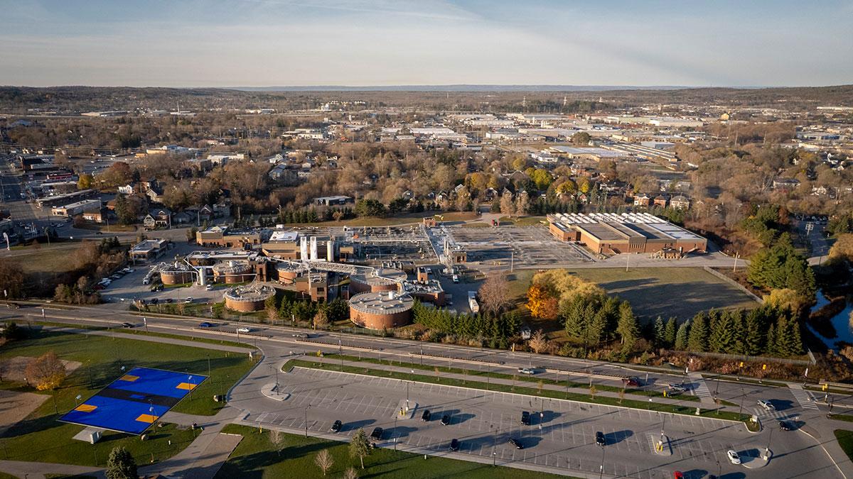
The work of the City's Corporate Asset Management, Development Services, and Infrastructure departments each impact various design and construction projects across Barrie. Corporate Facilities' planning and development staff oversee facility projects that support select City services.
Construction projects may require road closures.
Generally speaking, infrastructure projects are informed by a master plan or planning process, and project cycles may include environmental assessment studies, detailed design, then construction. Projects are ordered below as per the latest update.
Type: Stormwater & Creeks
Status: In Progress
Estimated Completion: 2029
Improves conveyance capacity of Whiskey Creek from The Boulevard to Brennan Avenue to reduce frequency of flooding.

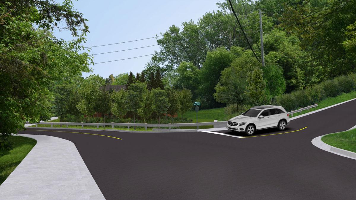
Type: Roads
Status: In Progress
Estimated Completion: September 2026
A holding strategy is a reactive approach to pavement management, generally applicable to roads proposed for construction in future years of the Capital Plan.
Type: Roads
Status: In Progress
The annual Pavement Management Program includes resurfacing roads, which mainly involves the repair of defects, such as cracks, and rutting found in the top layers of the road.
Type: Roads; Underground Infrastructure
Status: In Progress
Estimated Completion: Fall 2026
The annual program includes installing new watermains and lining existing watermains.
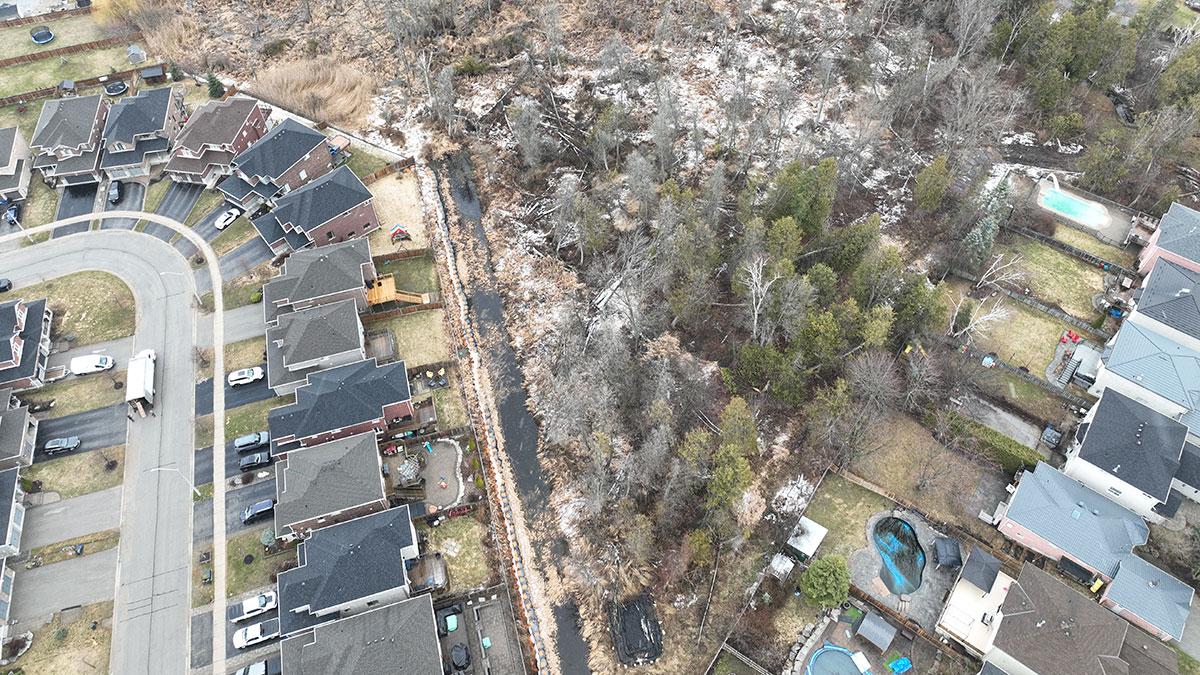
Type: Other
Status: In Progress
Estimated Completion: TBD
To mitigate the risk of future flooding of the residents' backyards, this project will regrade the affected rear yards adjacent to the wetland.

Type: Other
Status: In Progress
Renewing, upgrading, redesigning and reconstructing existing City parking lots.
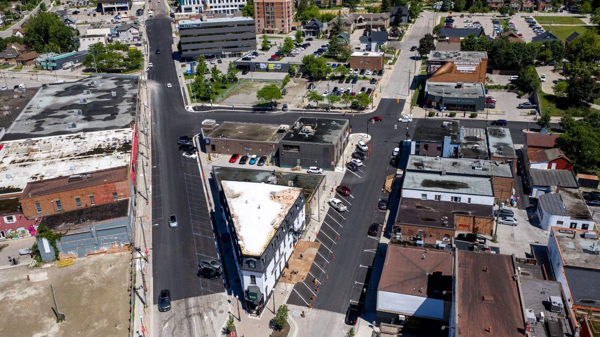
Type: Roads; Underground Infrastructure
Status: In Progress
Estimated Completion: Spring 2028
Transportation improvements on Huronia Road between Lockhart Road and the south city limit.
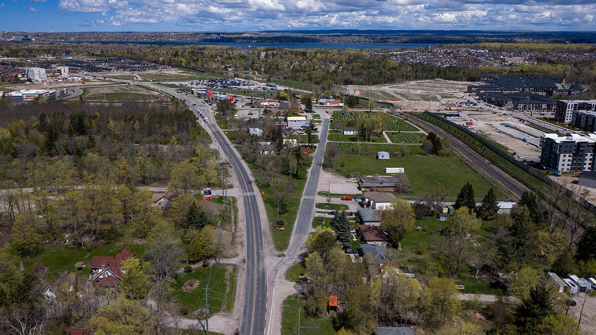
Type: Roads; Stormwater & Creeks; Underground Infrastructure
Status: In Progress
Estimated Completion: Spring 2028
Reconstructing and widening of Yonge Street (Mapleview to Lockhart) to five lanes, a cycle-track and a sidewalk.

Type: Facilities
Status: Upcoming
Estimated Completion: 2028
The City, in partnership with Maple Leaf Sports & Entertainment (MLSE), MLS NEXT Pro, and Barrie Stadium Group, is building a multi-purpose community stadium.
Type: EA Study
Status: In Progress
Estimated Completion: December 2027
The project is being undertaken in accordance with the Municipal Class Environmental Assessment (MCEA) Schedule C planning and design process.